- Introduction
The Appalachian Trail is maintained by individual clubs composed
almost entirely of volunteers. Part of the trail maintenance
involves the placement or relocation of trails and shelters.
While there are very powerful GIS programs, their cost and
licensing do not always match with volunteer efforts. This project
allows building of reasonable quality maps based on open-source
resources. Clubs can generate and freely distribute maps without
licensing restrictions.
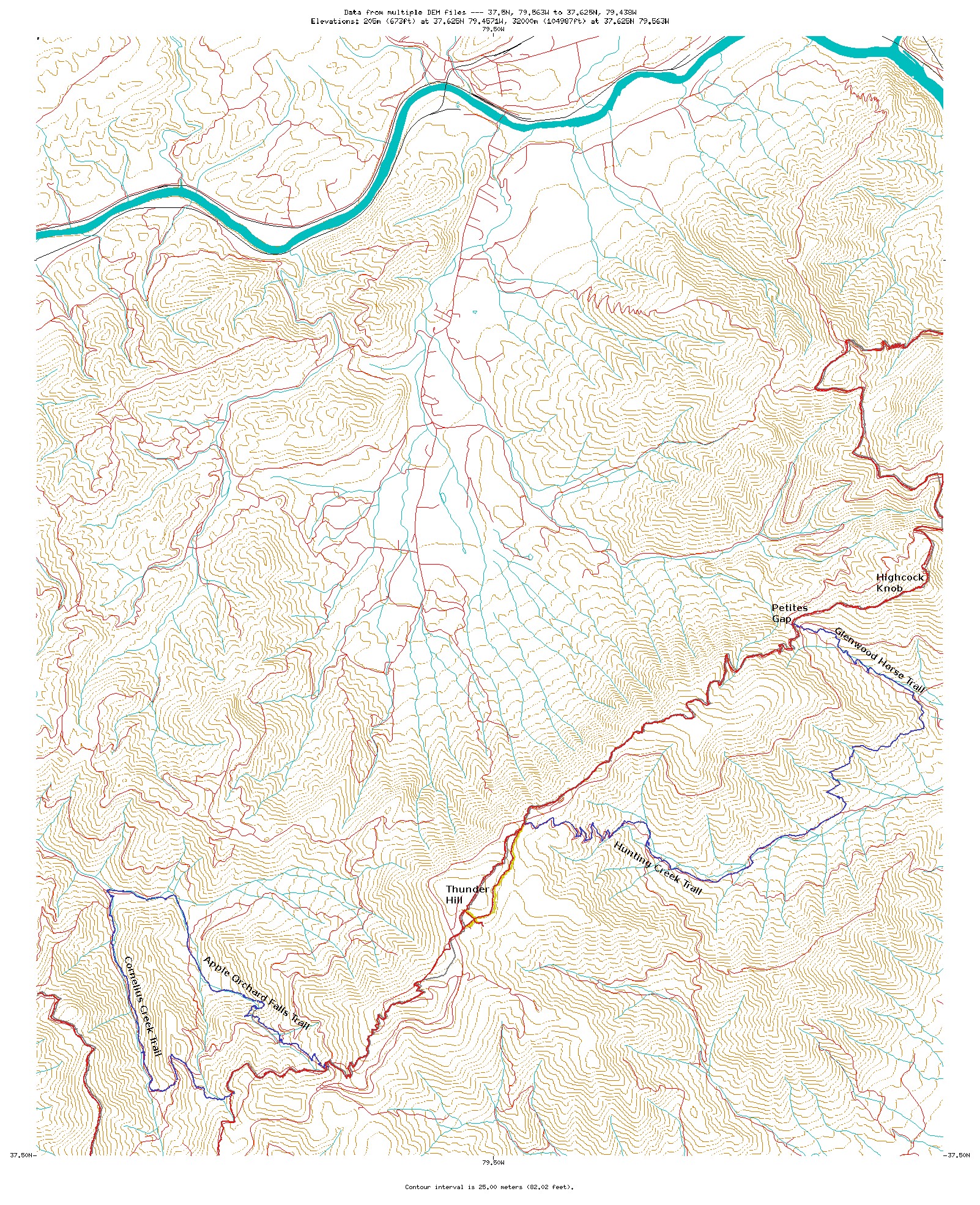
- Samples
Here are some examples of the data and maps.
- Resources
The project to produce these and other trail maps is based on the following resources:
|