 |
| From 2012-06-17-DollySodsNBATC |
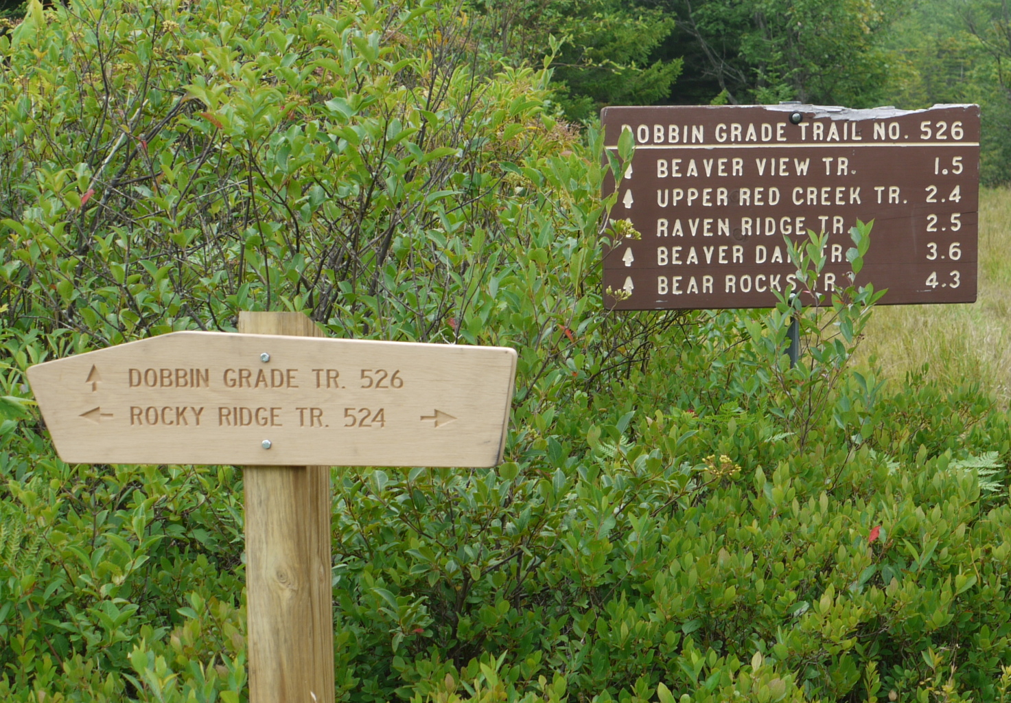
July 2010 -- New (and better) Signs; New trail signs are beginning to appear. All of the older signs were written as if they where at trail head, and not at the branch point for one trail leaving another. The new signs give both the branching trail and the through trail.
September 2007 -- The Forest Service has completed the western section of the Raven Ridge Trail. The trail is now entirely on federal property and the junction between Raven Ridge and Rocky Ridge Trails is marked with signs for each trail.
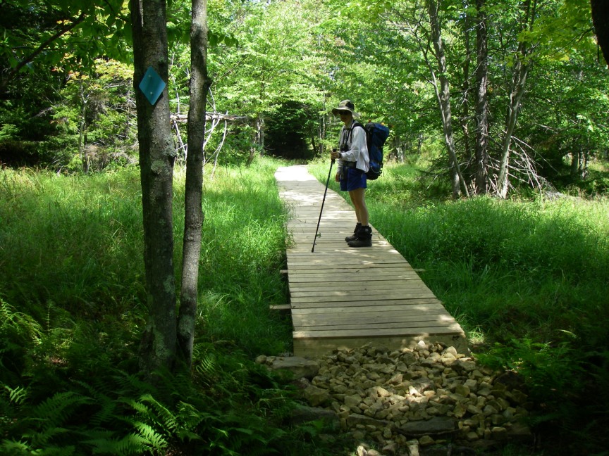
In addition, the Forest Service has built two sections of boardwalk completely spanning the bog areas on Bear Rocks Trail west of Dobbin Grade Trail (one down by Red Creek and the other up on the hill.) Also note the blue plastic diamond blazes on the tree.
And gravel has been installed on some boggy areas on Rocky Ridge Trail north of Dobbin Grade Trail.
October 2006 -- The Forest Service is now handing out free, accurate, and water resistant maps at the Seneca Rocks Visitors Center. These maps are based on the US Army Corps of Engineer's data. Our data and the Corps of Engineers data match very well.
Since 1967 we have enjoyed hiking, skiing, and backpacking in the Dolly Sods Wilderness Area in West Virginia and its adjoining US Forest Service lands. We have known that many of the better trails in the area are incorrectly marked or completely missing from many of the available Forest Service and topographic maps.
Text file GPS data: This was our first data and is still available.